Flooding in Spelthorne cannot be ignored

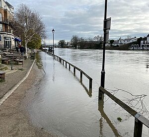
It has been raining a lot in the last few weeks, but even if you think it has been exceptional it only represents what we should get used to. Climate change means that weather events will become more extreme, and it is likely that we will be subject to more, hotter heat waves and an increased number of winter storms.
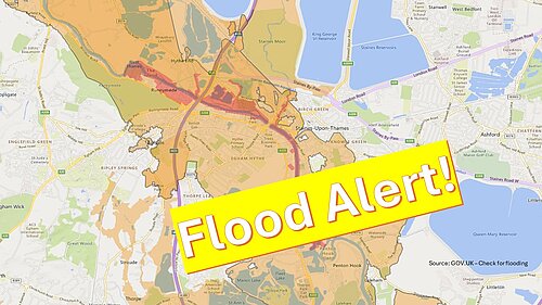
At the time of writing large areas of Spelthorne close to the river Thames are subject to official alerts, and in a few high-risk areas these alerts are upgraded to warnings of flooding. The live map of the flood risk is available here.
IS IT SAFE TO BUILD NEW HOMES IN SPELTHORNE?
The Spelthorne Local Plan sets out where housing developments are expected to take place and the future risk of flooding has to be a major consideration. The Environment Agency is responsible for producing maps that detail of flood risk and these are subject to regular update. When building anything it is vital that a long-term view is taken and we must avoid building is areas that are liable to flooding in future, even if the area does not flood today.
The Local Plan is expected to resume the inspection process in the Spring and one of the questions that will be considered immediately will be whether or not the level of building originally proposed in the Plan, particularly in Staines, can be allowed.
Cllr Lawrence Nichols, Leader of the Liberal Democrat councillors commented “We are working with other political groups and Council officers to make changes to the Local Plan which will avoid any high-risk areas. We want to present the Inspector with proposals to develop only in places with a very low risk of flooding so that we can move forward with confidence.”

